
Linden Postal Coverage, Verified
The official record set verifies one Linden postal anchor, not a complete list of every postal route that may serve nearby addresses. The City’s Linden Post Office listing identifies the primary city ZIP. USPS results should be checked live before treating that one verified result as exclusive or before naming a bordering postal community. A Linden postal resource is most accurate when it reports what has been verified and preserves the live-search gap rather than filling it with an assumed neighborhood boundary.
| ZIP | Areas Covered | Post Office | Notes |
|---|---|---|---|
| 07036 | Linden city address coverage verified by the City post-office page; no official neighborhood breakdown was captured | Linden Post Office, 400 North Wood Avenue, Suite A | Primary verified Linden postal ZIP. A live USPS all-ZIP result was not captured. |
Postal delivery and city jurisdiction do not use the same boundary. The table intentionally does not claim a ZIP split, unique ZIP, PO-box-only ZIP, or a list of additional Linden ZIPs because those facts were not verified in the official research.
Linden ZIP Code USPS Search Fields
The official USPS ZIP Lookup offers three documented routes: By Address, By City & State, and Cities by ZIP. Use By Address when the street line is known. Use By City & State to check the postal ZIP association for Linden, New Jersey. Use Cities by ZIP to see city names associated with a returned ZIP. USPS says that a result does not confirm a person or company at an address, so the return belongs in an address-normalization note, not a resident list.
| Verified field or control | Use in a Linden postal check |
|---|---|
| By Address tab | Starts an address-based postal lookup. |
| Company, optional | Can be left out when the company name does not match the postal result. |
| Street Address, required | Supplies the physical delivery line for the address route. |
| By City & State tab | Checks ZIP associations for a named city and state. |
| Cities by ZIP tab | Returns city names associated with a ZIP. |
| Search | Runs the selected USPS route. |
Save the original street line, USPS-normalized line, city, state, ZIP, ZIP+4 if returned, apartment or unit, source, and retrieval date. Keep block and lot in a separate municipal or parcel field.
Use a Linden ZIP Code for Address Research
A ZIP narrows the mail-address question, but the record trail must move through the right custodian. USPS does not provide a ZIP-wide resident search, and the research did not verify a ZIP filter on the state voter self-check or Union County land index. The documented route is to normalize one address, verify its municipality, identify a parcel key, and then use a particular public record only for the narrow question it can answer. This avoids making a postal code stand in for a person, a legal boundary, or an ownership record.
- Run the address through USPS ZIP Lookup and retain the returned postal format.
- Check the Linden official map inventory to orient the street within the city grid, ward, tax-map, or zoning context.
- Use NJGIN parcels or YourMoney to move from address to municipality, block, and lot where the public data provides it.
- Use SDL, a City request, or the County Clerk’s party and instrument tools for the defined property, permit, or deed question.
Once a ZIP is narrowed to a named street, the Linden street directory has the fuller street and parcel workflow. A postal directory should not turn a postal filter into a household list.
Linden SDL Parcel Route
The City’s SDL Portal, announced in July 2026, describes an address, owner-name, or permit-number workflow. The official page says the system can cover assessed values, tax-lot information, inspection history and status, application tracking, inspection scheduling, fee payment, zoning and property-class overlays, flood overlays, violations, complaints, and certificates. Its live external viewer address and full account requirements were not captured, so each visible feature should be confirmed when used.
SDL is useful after postal normalization because its stated paths begin with an address or a defined record key. Its information is not interchangeable with a postal ZIP result. An assessment field has its own vintage, permit status has a separate date, and an owner field is not proof that a person occupies the property.
The official Linden SDL Portal notice describes the City’s property, permit, and inspection workflow.
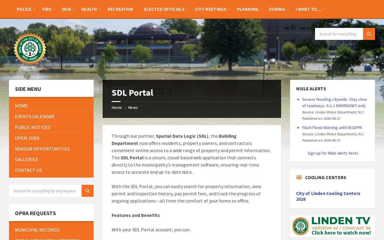
The portal is a City-record route after an address is identified, not a tool for making a ZIP-wide list of people.
Linden Postal Map Context
Linden’s official map uses a local street and grid presentation, not a ZIP-neighborhood map. Its A-R and 1-28 grid labels, street-name index, rail corridors, waterways, parks, cemeteries, wards, and city facilities help orient an address. They are not parcel identifiers, election districts, or postal boundaries. Tax blocks and lots, a postal ZIP, a ward, and a street-grid reference must remain separate fields in a research note.
The official maps page links city, ward, tax, district-collection, GIS, stormwater, and zoning maps. The text review did not expose the exact Linden GovPilot viewer URL or its live controls. The map inventory is still the documented municipal route for a street, zoning, or city-geography question.
The Linden official maps collection supplies the local orientation layer before a parcel or records search.
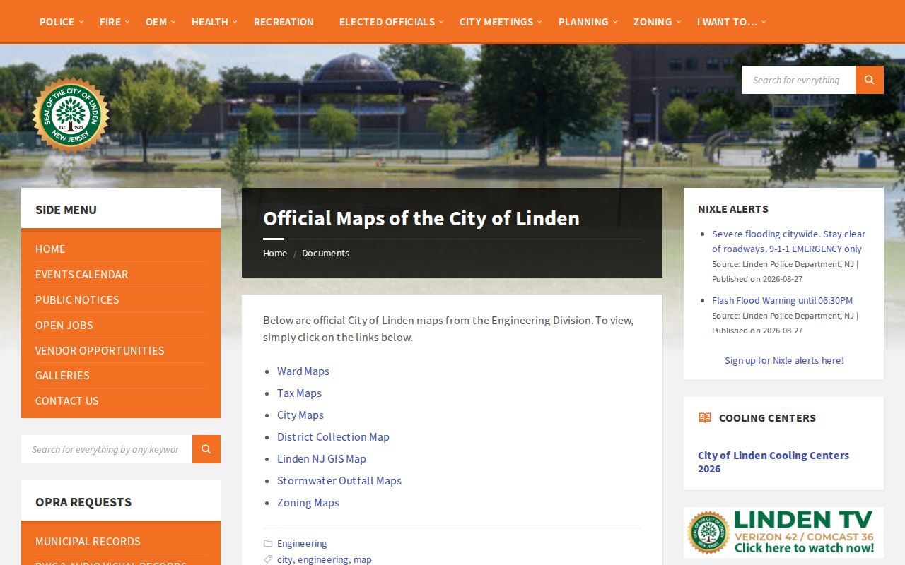
Use the map to confirm the city setting of an address, then use a parcel or tax source for block-and-lot data rather than inferring it from a grid square.
Linden Postal Boundaries and City Limits
A postal city can differ from a legal municipality, and a ZIP can serve more than one municipality. The verified Linden record does not establish a split year, a named enclave, or a complete list of addresses where a postal city differs from the city field. The defensible local statement is narrower: 07036 is the primary verified ZIP for a Linden city address, while the live USPS city-and-state return should be checked before any broader claim. City maps, GIS, and tax fields decide municipal and parcel context, not USPS alone.
- ZIP and ZIP+4
- A ZIP identifies a postal delivery area; ZIP+4 adds a more specific delivery segment when USPS returns it.
- PO-box ZIP
- A ZIP used for post-office-box service. No Linden PO-box-only ZIP was verified in the official research.
- Unique ZIP
- A postal ZIP assigned to one organization or address. No Linden unique ZIP was verified in the official research.
- Carrier route
- A postal delivery route used for mail operations, not a municipal district or proof of residency.
Note: Preserve the USPS return and the City or parcel municipality field separately, because either can be correct for its own purpose.
Linden Parcel Data Limits
NJGIN’s statewide parcel program accepts address, county, municipality, block, and lot inputs and provides parcel geometry and attributes. The program warns that parcel boundaries are not legal survey boundaries, and hosted owner names can be redacted under Daniel’s Law. YourMoney provides a different public assessment and tax context, collected in January, while County Clerk records document recorded instruments. Those date stamps and roles should be labeled rather than blended.
A block or lot is a tax and mapping bridge. The County Clerk index instead works through names, dates, document types, book and page, or instrument numbers. If the parcel display is blank or redacted, use the City or County route that holds the requested record. Do not replace an absent field with a secondhand name or assume that a postal ZIP carries property ownership information.
The NJGIN parcel program explains statewide parcel coverage, Property Explorer access, and its redaction and boundary cautions.
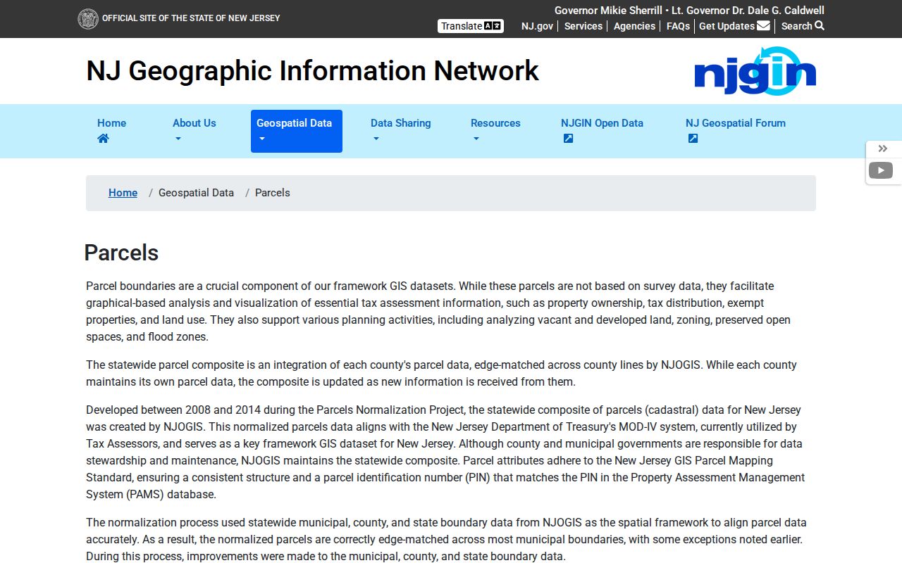
NJGIN can connect an address to parcel geography, but a map result is not a legal survey and does not establish who receives mail or lives there.
Linden Postal Record Requests
When an address needs a municipal record that the web tools do not show, use the Linden OPRA request form for a narrow series such as a dated permit index, certificate, tax-map record, or code file. Include the street address, block and lot when known, department, record type, date range, and desired delivery method. The City accepts the form through documented written, electronic, mailed, or hand-delivered paths and normally responds within seven business days, subject to statutory exceptions.
The request should identify the actual record question. A ZIP alone is rarely a sufficient key for a municipal property file. New Jersey’s Open Public Records Act also preserves privacy and exemption review, including Daniel’s Law protections. Keep any response tied to its record series and date rather than using it to assemble profiles of people in a postal area.
For a current Linden address, use USPS for postal formatting, City maps for municipal orientation, and NJGIN or YourMoney for parcel context. After a parcel produces a legal party or instrument clue, the Union County Clerk land index supplies name, date, book-and-page, and instrument routes. The Clerk’s record room holds land transactions from 1857 forward, while its published online index is a narrower modern window. For an older address, begin with a dated directory, newspaper, or map at Linden DigiFind-It or through the library, then use modern parcel geography only to translate the historical location. A postal code must not be projected backward as if it were an old street record.
Postal boundary tip. Confirm delivery with USPS, confirm municipality with City or GIS data, and confirm parcel details with the official record that uses block and lot.