
Navigate a Linden Street by Address
A Linden street directory is an address trail, not a list of people. Start by confirming the number, street spelling, and municipality. The City of Linden map supplies the street-name index, ward and grid setting. A Linden parcel or tax reference then connects the address to a block and lot. From there, Linden SDL, New Jersey parcel tools for Linden, City of Linden records, and Union County land records for Linden each answer a narrower question. The most useful result is a dated record trail with its source, rather than a guess about current occupants.
- Open the Linden official maps and use the street-name index and city context to confirm the location.
- Use the address, municipality, or block and lot in NJGIN Property Explorer or the State property data to identify the public parcel fields.
- Check the Linden SDL Portal for the City-described property, permit, inspection, overlay, complaint, or certificate route.
- Convert the owner or legal-party name to a search in the Union County Clerk land-record index, then review the recorded parties and instrument references.
- For an older address trail, ask the Linden Public Library which directory, microfilm, newspaper, or DigiFind-It item fits the year in question.
Keep the original Linden street line, block/lot, record date, and source URL together. That makes an address search repeatable when a map label changes or a later record supplies a different legal party.
Linden Street Maps Set Context
The City of Linden’s 2020 official map is the first orientation layer. It shows a street index, the A-R and 1-28 grid references, municipal lines, rail corridors, waterways, parks, cemeteries, and City features. It is valuable for locating an address on a Linden street, but it is not a current tax card, legal boundary survey, or occupancy record. Record the map title and year before matching it to a newer Linden parcel source.
The official maps inventory also points to ward, tax, zoning, stormwater, district-collection, and GIS materials. The City of Linden’s linked GovPilot destination was not exposed as a verifiable live viewer during research, so no select, measure, export, buffer, or street-browse control is claimed here. Use the documented Linden map inventory or the State parcel layer for Linden, and verify any live control before relying on it.
See the City’s official Linden map inventory before moving from a street name to a parcel reference.
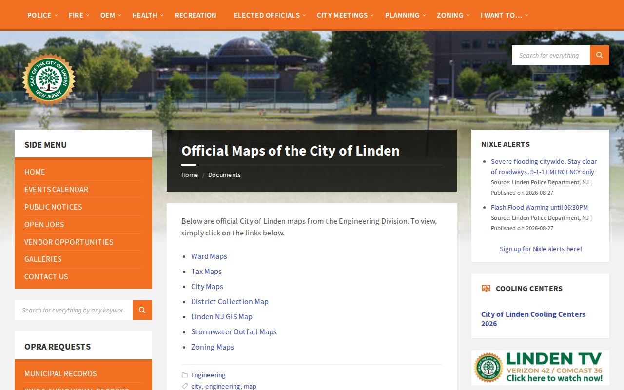
The inventory shows why ward, zoning, tax-map, and street-grid labels should be retained as separate context fields rather than treated as one address result.
Linden Street Directory SDL Records
The City describes its SDL portal as a secure cloud route for account searches by address, owner, or permit number. Its published feature list includes assessed values, tax-lot information, inspection history and status, application tracking, scheduling, fee payment, maps and overlays, violations, complaints, and certificates. A permit application, a complaint, and a certificate are different records. Preserve the record type and status date instead of treating any one entry as a conclusion about work at the parcel.
Full live account results were not inspected in the research. That means the public description supports the available pathways, but not a claim that every named field is always visible. The City of Linden Construction Code office is the fallback for a defined permit or certificate question. A focused request should identify the address or block/lot, record series, date range, and whether an index, application, inspection history, certificate, violation notice, or final disposition is wanted.
The City’s Linden SDL Portal announcement describes the address, owner, and permit-number entry points.
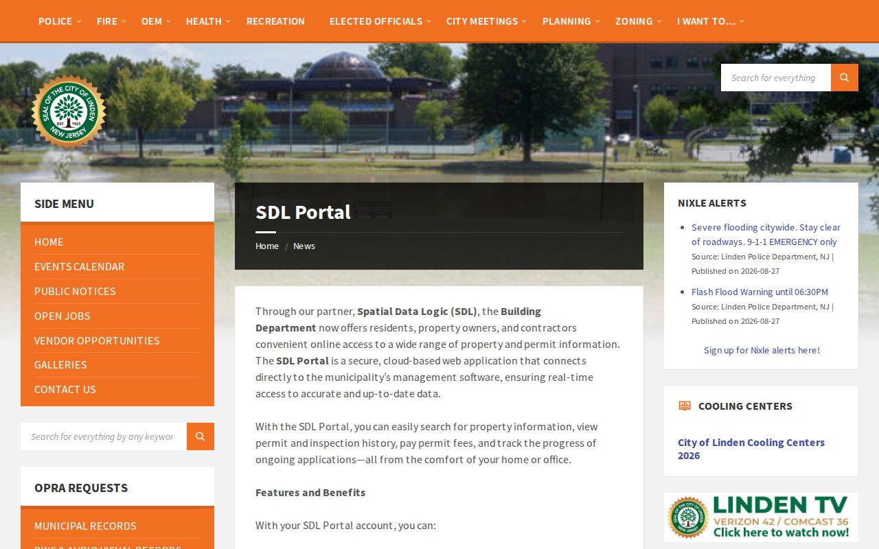
Use a dated SDL result alongside the City map and parcel identifiers, because portal access and displayed fields can change.
Linden Street Directory Record Coverage
These sources are keyed to an address, parcel, legal party, or defined record request in different ways. They should not be blended into a claim that a public system supplies a complete household roll. The City assessment-card interface and a public Linden street-browse control were not verified, so the table identifies the documented route and the remaining gap.
| Address-keyed source | What is documented | Access route | Important limit |
|---|---|---|---|
| City of Linden maps | Street index, grid, wards, tax-map and GIS links | City of Linden map inventory and PDFs | Map context is not a legal boundary or occupant record |
| Linden SDL | Address, owner, or permit-number workflow; property and permit features | City of Linden-linked portal | Live account fields were not captured |
| NJGIN / State property data for Linden | Linden address, county, municipality, block, lot, parcel and assessment fields | Public State tools | Parcel boundaries are not legal survey boundaries; redactions can apply |
| Union County Clerk UCPA for Linden | Deed, mortgage, lien, release, and related party/instrument records | Online index, certified-copy request, or Clerk record room | Address is not the primary index key |
| City of Linden permits and code files | Defined permit, certificate, inspection, or code record series | SDL, City of Linden department, or OPRA request | Request scope and disclosability control the response |
| Linden election records | Voter self-check and County election-document request routes | State self-check or Union County BOE | No public block or street browse was verified |
A Linden parcel is the bridge between address research and the Union County deed index. The State’s public property data for Linden can show location, owner as displayed, block, lot, annual land and building assessment, prior-year tax, and class. Its data are collected in January, so save the data year and retrieval date. Assessment is not sale price, and a displayed owner is not automatically the person occupying the property.
Linden Street Search Fields and Gaps
Linden did not expose a separate assessor form with verified owner-name, situs-address, mailing-address, parcel-number, exemption, sketch, or street-browse controls in the reviewed official material. The documented controls below therefore distinguish a working path from a field that still needs live verification. “Situs” means the physical parcel address. A mailing address is where the recorded owner receives notices, and may be outside Linden.
| Field or control | Documented source or status | Use in an address search |
|---|---|---|
| Linden street address / situs | City of Linden map, SDL description, and State property routes | Starting physical location |
| Linden block / lot | NJGIN, State property data, and Linden SDL tax-lot description | Parcel bridge to City of Linden and County records |
| Linden owner field | State property data and Linden SDL description; parcel display varies | Union County Clerk party-search lead |
| Linden assessment year and values | State property data context | Record the vintage, not a current market conclusion |
| Mailing address | Not independently verified in a Linden live card | Keep separate from situs if publicly displayed |
| Street browse, select, measure, export | Exact GovPilot controls not captured | Live-viewer verification remains necessary |
The NJGIN parcel program supplies the statewide address, county, municipality, block, and lot route for Linden. Its warning matters: parcel geometry supports planning and tax analysis, not a survey or deed opinion.
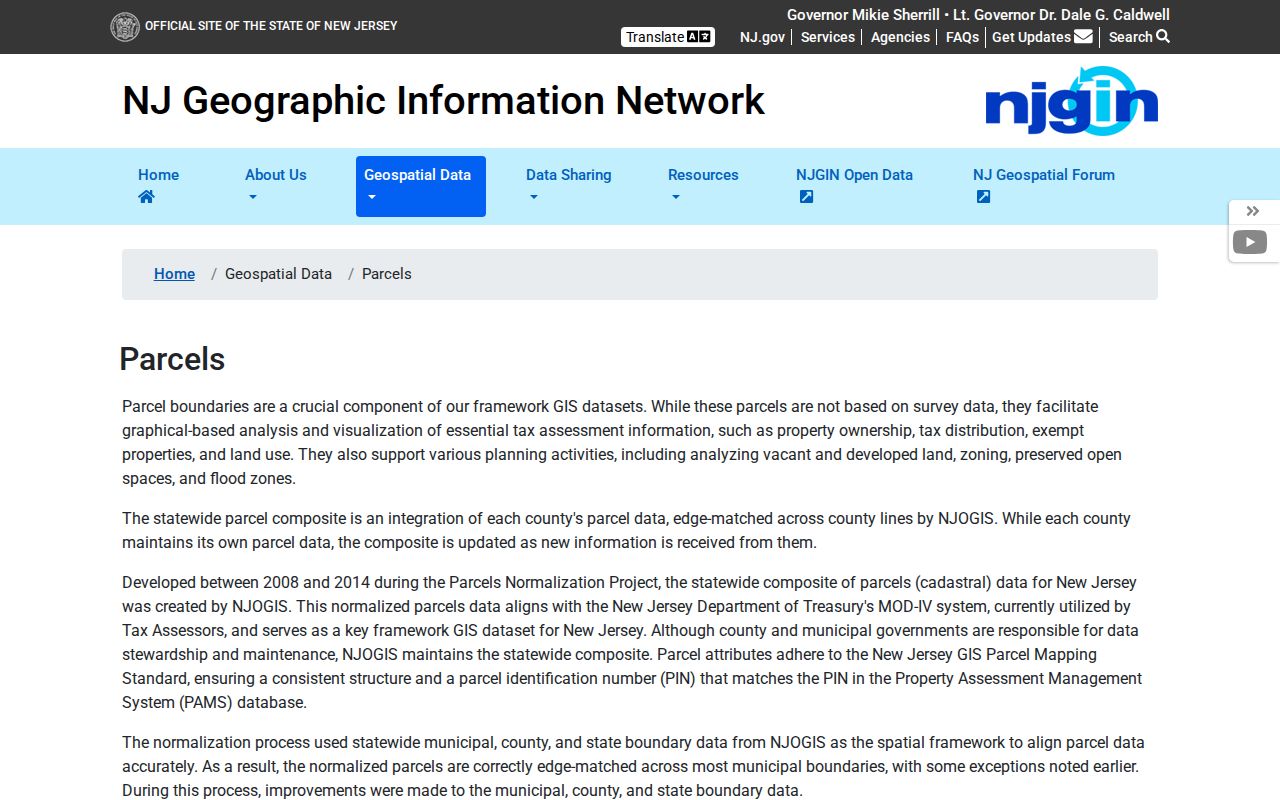
If an owner field is redacted or blank, retain the parcel geometry and block/lot, then ask the appropriate City custodian or County Clerk about the next official record route.
Trace a Linden Street Through Deeds
The Union County Clerk’s Linden land index route is a name, date, book/page, and instrument system, not a street-address index. Begin with the current owner or legal party obtained through the Linden parcel path, then search that party as a grantee or grantor. Read the reverse party, recorded date, document type, and book/page or file number. A grantor is the party conveying an interest; a grantee is the party receiving it. A recorded deed is evidence about a transfer, not a statement of continuous residence.
UCPA publishes a modern online window beginning June 1, 1977, while the Clerk says the record room retains land transactions from 1857 forward. Some pre-January 1986 imaging was still in process. When a web search ends, move to the Clerk record room, the certified-copy desk, or a defined staff inquiry rather than treating an online no-result as a historical no-record.
The Union County Clerk name search has documented exact, starts-with, and Soundex options for last names, first-name matching choices, required dates, party type, document type, and results-per-page controls.
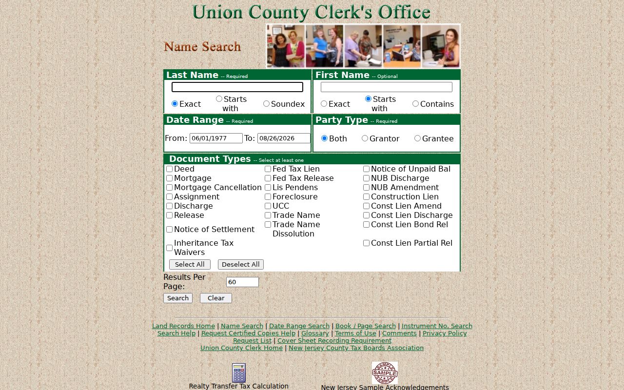
Use alternate initials and legal-entity suffixes where warranted, then verify the indexed party against the actual record row or image.
When an instrument reference is already known, the Union County Clerk instrument search uses document type, year, prefix, instrument number, and suffix.
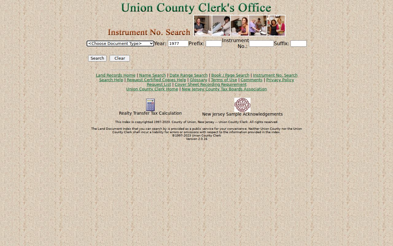
That route is efficient only after an instrument number has been found from a deed, a prior index result, or a certified-copy request.
For a narrow recording period, the Union County Clerk date search requires a document type and limits a search to 31 days, with grantor/grantee and results-per-page controls.
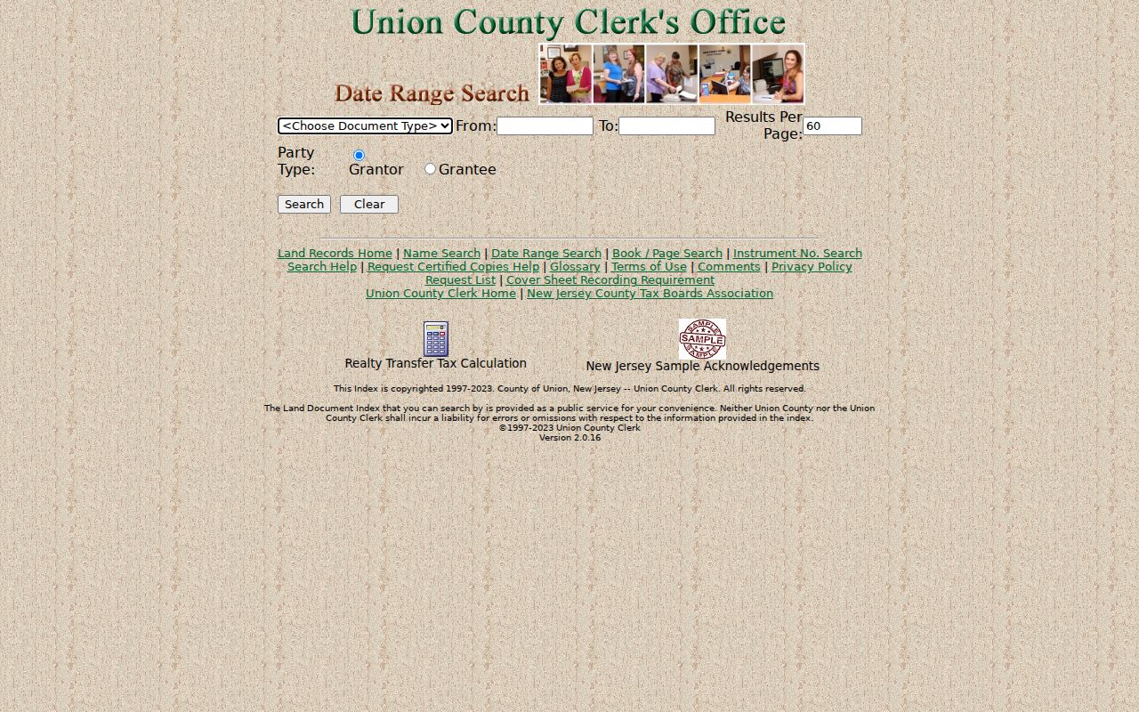
Longer date work needs consecutive bounded searches. The request-list workflow supports certified-copy requests by instrument number, type, recorded date, and page count, with online credit-card and directed mail-payment options.
Linden Street Records Beyond the Portal
Not every address question has an online index. For municipal material, use the City Clerk’s OPRA request form with the street address or block/lot, department, record series, and bounded date range. Electronic transmission, mail, hand delivery, and other conveyance to the proper custodian are documented paths. New Jersey’s Open Public Records Act generally calls for a response within seven business days, subject to exceptions; the Linden instructions identify a 14-business-day review for commercial-purpose or Daniel’s Law matters.
Ask first for an index or log where a record series is large. For a permit, certificate, or code file, distinguish the application from the inspection, violation, and final status. For historic address context, the Linden Public Library offers DigiFind-It, local newspapers, microfilm, yearbooks, and reference help. The digitized city-directory run has gaps, so a request for a particular year should not assume that a reverse or criss-cross volume exists.
Note: A bounded OPRA request with address, block/lot, department, record series, and dates is more useful than a request for every record about a person.
Linden Street Directory Terms
Small label differences prevent major errors in street research. Retain the wording used by the map, tax source, or recorded instrument, especially when an old record uses an earlier jurisdiction or legal description.
- Parcel
- A mapped tract used for tax and property administration. Its geometry is not a legal survey boundary.
- Situs address
- The physical location of the parcel, distinct from any owner mailing address shown in a record.
- Plat
- A recorded subdivision or map reference that can connect a lot and block to later address research.
- Criss-cross directory
- An address-arranged historical directory, if a library confirms that a particular volume exists.
A legal description may use a block, lot, subdivision, or metes-and-bounds text instead of a street number. Preserve that text and use City maps and County book/page references to translate it. Do not force an approximate address where the sources do not support one.
Linden Street Records Are Snapshots
A deed, voter record, directory, permit result, or jail result does not alone establish current residence. Each has a different purpose and date. The New Jersey voter registration check is person-specific, requires first and last name plus month/year of birth, and is not a public block browser. Questions about legally available election documents or labels belong with the Union County Board of Elections, under current election, OPRA, and redaction rules.
Protected records can also change what a map or request returns. Daniel’s Law can shield covered persons’ home addresses and unpublished numbers on government sources. The New Jersey Address Confidentiality Program supplies a substitute legal address for eligible participants but cannot erase addresses already public. Driver/MVC information, utility customer data, protected voters, minor information, and restricted court or vital material are not part of that Linden address record path.
Note: Keep owner, legal party, permit applicant, historical directory entry, and verified voter status as separate record roles with their own dates.
Limits of a Linden Street Directory
Address records support parcel and record research, not a person-by-person household list. Non-owner occupants and household members are not established by a parcel field. A mailing address can point to an entity office, trustee, attorney, or out-of-town destination. It is a record label, not a private contact shortcut. A street directory also cannot turn a tax assessment, permit applicant, or party name into proof of social connection.
For the immediate parcels around one address, use the narrower Linden neighbors lookup method and its fixed stopping rule. A full Linden named-street record chain needs the address, parcel, and deed steps above.