
Linden Neighbors: Block Sources
A Linden block lookup can establish map context, parcel geometry, public tax or assessment fields, and recorded instruments. It cannot establish a complete list of people at nearby homes. Linden neighbors may include owners, non-owner occupants, and people protected by privacy rules, yet those are different categories and Linden public systems do not combine them into one reliable answer. For a Linden block, start with the smallest useful area, usually the target parcel and immediately touching lots, then keep the source and date for each field.
| Source | What It Shows About a Block | Access |
|---|---|---|
| City of Linden official maps | Linden street names, grid, wards, rail/water features, parks, cemeteries, tax-map and GIS links | City of Linden map inventory and PDFs |
| NJGIN Property Explorer for Linden | Linden parcel geometry and address, county, municipality, block, and lot routes | Public State parcel tools; boundary caveat applies |
| Linden New Jersey property data | Linden public parcel location, owner as displayed, assessments, prior-year tax, and class | Public State map/data; January collection caveat |
| Linden SDL | City of Linden-described property/tax-lot, overlay, permit, inspection, complaint, and certificate pathways | City of Linden-linked portal; live account fields were not captured |
| Union County Clerk UCPA for Linden | Linden recorded deed, mortgage, lien, release, and party/instrument history | Public online index, certified-copy request, or record room |
| Union County BOE for Linden | Linden election-document or aggregate district questions under applicable rules | County request route; no public street browse verified |
Linden parcel sources supply geographic facts. The Union County Clerk’s Linden route supplies legal-party and instrument history. The Board of Elections does not provide a public map for browsing every voter along a Linden block, and the State self-check is for a named registrant. Those limits are part of an accurate Linden neighbors search.
Linden Maps Define the Block
The Linden official maps inventory is the orientation layer for a Linden block. The City of Linden’s 2020 map includes the street index, A-R and 1-28 grid references, municipal boundaries, rail corridors, waterways, parks, cemeteries, and City locations. Use it to verify the Linden address and spot a rail, water, alley, or corner condition that may make a parcel look adjacent when it is not.
The City of Linden map page points to tax, ward, zoning, stormwater, district collection, and GIS materials. Research did not expose the exact Linden GovPilot viewer URL or establish live identify, buffer, measure, export, or print controls. A Linden radius result should not be assumed. If a live viewer later offers a buffer, record the units and settings. Until then, use a Linden map-browse approach and stop at legally separate parcels that visibly touch the target lot.
Start with the City’s official Linden maps to establish the block setting before checking any parcel field.
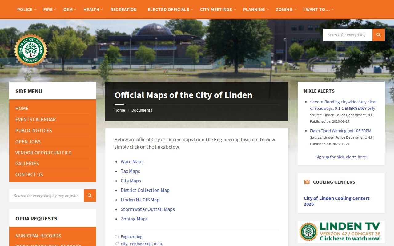
Grid, ward, tax-map, and zoning labels are separate map references. They should not be turned into a claim that nearby households share an identity or relationship.
Map a Linden Block Parcel by Parcel
The documented Linden method is a parcel walk, not a social-neighbor list. A Linden parcel is a mapped tract used for property and tax administration. It may touch the target lot because of a narrow side strip, through lot, rail boundary, or mapping artifact. Check the Linden legal description and map context before calling it adjacent. The goal is a short, reproducible geographic set.
- Confirm the target Linden address and Linden municipality on the City map or a State parcel route.
- Record the target Linden parcel’s block and lot, map date, and visible street frontage.
- Pan to each immediately touching Linden parcel polygon and record its own block/lot. Do not infer a relationship from visual proximity.
- Check each Linden lot independently in State property data or Linden SDL for the public field, data year, and any redaction.
- When a legal party or recorded transfer matters, search that party in the Union County Clerk index for Linden and retain the instrument or book/page reference.
- Stop at the target lot plus touching lots, or define an intersection-to-intersection segment before beginning. Note corners, alleys, rail, water, and map uncertainty.
For a whole named street rather than an immediate block, use the Linden street directory workflow. That separate method follows the address-to-parcel-to-deed chain without implying that every nearby property is part of one social group.
Linden Neighbor Parcel Fields
NJGIN supports lookups by address, county, municipality, block, and lot. The State says the parcel layer is for planning and property-tax analysis and is not a legal survey boundary. YourMoney can show public parcel location, owner as displayed, block/lot, annual land and building assessment, prior-year taxes, and class. Its data are collected in January, so a new transfer or change may not appear on the same timetable as another City or County system.
Mailing address and situs address deserve separate treatment. Situs means the physical parcel. A publicly displayed mailing address may belong to a business entity, trustee, attorney, or out-of-town contact and does not prove occupancy. Daniel’s Law can also redact covered owner information in hosted parcel or tax-list products. If a map shows geometry but no name, preserve the block/lot and ask the correct custodian about the next lawful route.
The NJGIN parcel program describes the statewide parcel and Property Explorer pathway.
The parcel layer is useful for locating adjacent lots, while the field date and redaction status explain what the map result can and cannot support.
Linden Neighbors and City Records
The City describes the Linden SDL Portal as an account route that accepts address, owner, or permit-number searches. It describes property and tax-lot information, assessments, inspection history and status, application tracking, scheduling, fee payment, zoning, property-class and flood overlays, violations, complaints, and certificates. Those fields serve different City functions. A permit applicant or a complaint record is not a statement about who lives on a block.
A defined City record may be requested from the right department through SDL or the City Clerk’s OPRA form. Include the target address or block/lot, the department, record series, and a bounded date range. Ask for the index or log first when the scope is broad. The form permits delivery choices including pick-up, mail, inspection, fax, and email; the State law also recognizes written, mailed, hand-delivered, and electronic requests to the proper custodian.
The SDL portal announcement identifies the address, owner, and permit-number paths for Linden property and municipal-record questions.
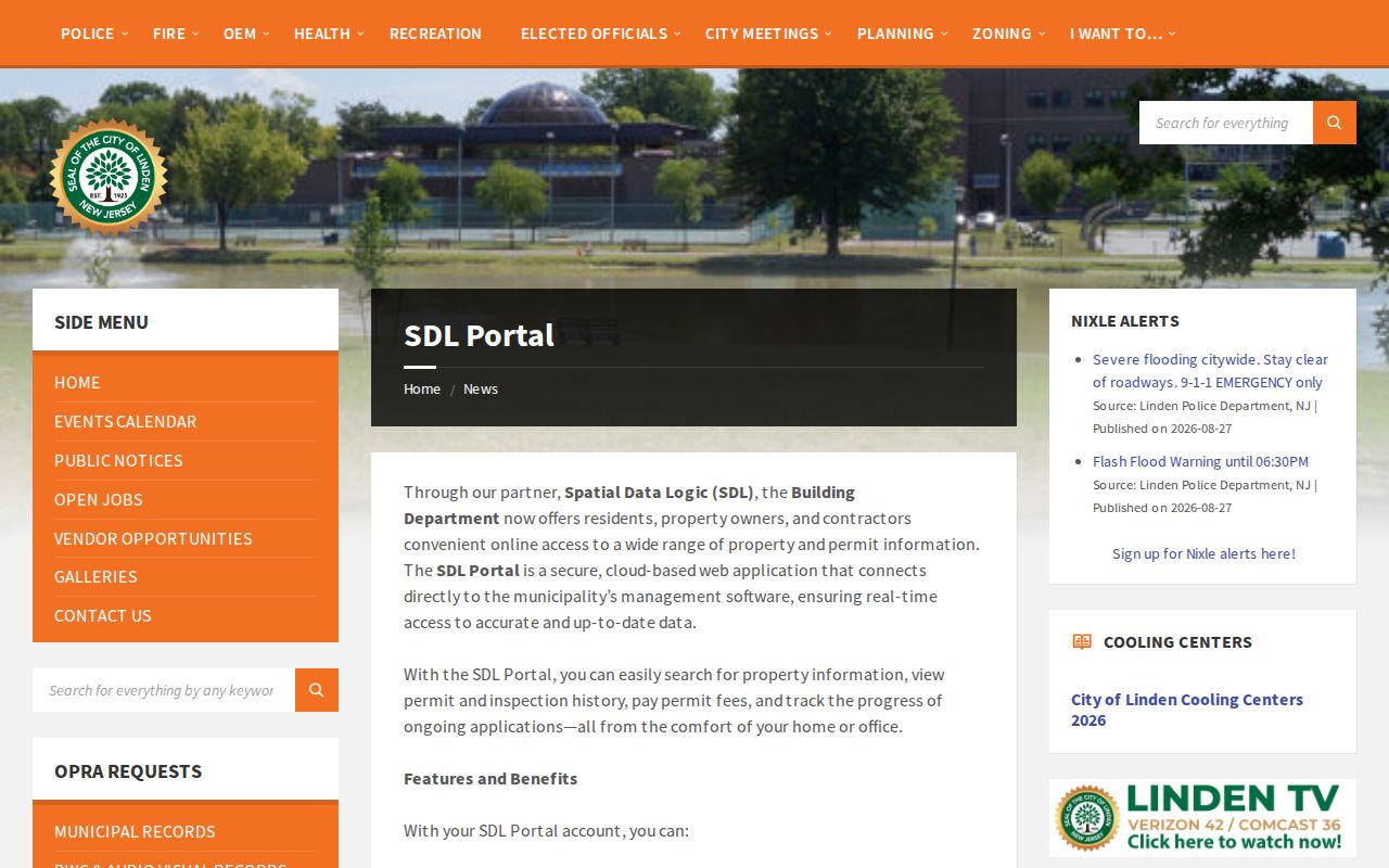
Live account results were not retained during research, so a portal feature description should be confirmed at the time of a specific address search.
Note: A narrow request for a known address, record type, and period is easier for a custodian to review than a request for information about everyone nearby.
Linden Neighbor Tools Compared
Official sources and commercial neighbor-lookup categories serve different purposes. Official map, parcel, and deed systems are limited but make their source and date clearer. Commercial services may combine address, property, court, marketing, and directory data. That combination can be stale, can merge people with similar names, and can look more complete than it is. Neither category creates a verified household roster for a Linden block.
| Category | Useful record question | Limit to keep in view |
|---|---|---|
| Official map and parcel tools | Where is the lot, and what public property fields are displayed? | Map geometry, data vintage, and redaction limit the result |
| Union County recorded instruments | Which legal parties appear on a dated deed or related filing? | Party role is not proof of occupation or current residence |
| Commercial neighbor-lookup category | May present a compiled address-oriented result | Can be stale, mismerged, or incomplete and has no official household-status force |
The strongest check is not more sources of the same kind. It is a map date, a parcel identifier, and a separate recorded instrument or City record that clearly answers a limited question.
Linden Civic Contacts by Area
No comprehensive City-maintained roster of private neighborhood associations or homeowners associations was located in the official research. Public boards, committees, the library, and ward meetings are useful civic contact routes, not household directories. They can help a resident find a public meeting, local-history source, or City department without exposing attendees or treating membership as a residence record.
| Verified public contact route | Public role | Published location or contact |
|---|---|---|
| Linden Planning Board | Planning and map-related civic records | Engineering Division, third floor; 908-474-8469 |
| Cultural & Heritage Committee | Public history and civic events | Its City page reports second Thursday meetings at 7 p.m. in the third-floor Planning Room; confirm the schedule |
| Linden Public Library | Directories, newspapers, microfilm, yearbooks, and reference assistance | 31 East Henry Street; 908-298-3830 |
| Uptown Linden Special Improvement District | Public civic and commercial-corridor lead | 403 North Wood Avenue; 908-718-5831 |
Recent City-documented ward and park meetings also offer public participation routes. Meeting dates and locations vary, so verify them through the City before attending. The appropriate use is civic context, not an attempt to identify attendees or households.
Linden Neighbor Association Gap
Research found no verified public roster or umbrella directory for Linden private neighborhood associations, block-watch groups, congregational lists, fraternal groups, or homeowners associations. That is a meaningful gap, not an invitation to use a scraped list or a social-media claim. Ask the Linden Public Library, Union County Historical Society, or a City community contact about a named organization and its public contact rules.
The City-listed public bodies include the Planning Board, Cultural & Heritage Committee, Environmental Commission, Board of Health, Library Board, Linden Economic Development Corporation, Local Assistance Board, Uptown Linden SID, and ward community meetings. The official sources did not publish a directory of member households. Their public meeting pages are better used to locate civic records and current public contacts.
Linden Blocks Across Map Eras
A block can have a useful public history without a list of current neighbors. Pair a current parcel view with Linden’s 1923 Sanborn context, a dated directory or newspaper, and the City map. The Library of Congress item places Linden among secondary locations in the Elizabeth volume and is useful for built environment, industrial, and street-corridor context. It is not a person index, current map, or proof of ownership.
Linden’s municipal history also changes the language used by older records. The township began in 1861 and the city incorporated in 1925; earlier sources may use Elizabeth, Rahway-area, township, or other jurisdiction wording. Preserve the original street and jurisdiction text before modernizing it. A newspaper, directory, map, or deed supports a snapshot from its own date, not a continuous account of a block.
Note: Record the map year, directory year, source page, and jurisdiction spelling when comparing historical Linden block material.
Linden Neighbor Privacy Limits
Public parcel and recorded-instrument systems do not disclose everything around an address. Non-owner occupants, household members, utility and delivery customers, private phone and email information, minor information, protected voters, confidential-address participants, and restricted court or vital records remain outside a responsible neighbor lookup. Daniel’s Law can shield covered home addresses and unpublished numbers on government sources. The New Jersey Address Confidentiality Program can provide an eligible participant a substitute legal address.
One key correction matters: a deed, voter record, directory, permit result, or map label does not by itself prove current residence. Treat each as a dated record with a specific purpose, and stop when the record question has been answered.